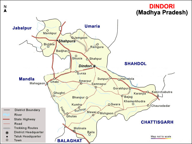
The district of Dindori encompasses a total area of 571883 hectares. The district is part of the Jabalpur division of Mahakausal region.
Dindori district holds a total population of 579312 , in which 290572 are men and 288740 are women. The district comprises of 97 % rural and tribal population.
The district draws its revenue from agricultural and forest products. Dindori has not yet experienced industrialization. The district is one of the most economically backward regions of the state due to absence of proper infrastructure and modern amenities.
------------------------------
MADHYA PRADESH districts
badwani balaghat betul
bhopal chhatarpur chhindwara
damoh datia dewas
dhar dindori guna
gwalior harda hoshangabad
jabalpur jhabua katni
mandla mandsaur morena
narsimhapur neemach panna
raigarh raisen ratlam
rewa sagar satna
sehore shahdol shajapur
sheopur shivpuri sidhi
tikamgarh ujjain umaria
vidisha bhind
west-nimar-district-map-khargone-district-map
east-nimar-district-map-khandwa-district-map
-----------------------